
A Beginner's Guide to Reading Tide Tables Safely
Why Tide Tables Matter on the UK Coast
The UK has some of the largest tidal ranges in the world. In the Bristol Channel, water can move over 12 metres between high and low. That's not just a number on a chart; it's the difference between a breezy stroll across golden sand and a race against the incoming sea. Whether you're exploring dunes, hunting for sea glass, or simply walking the dog, knowing when the tide turns is your most important safety tool.
Tide tables are free, widely available, and surprisingly straightforward once you know the vocabulary. This guide will help you read them with confidence.
The Key Terms: High Water, Low Water and Chart Datum
Every tide table is built around a few simple ideas.
- High water (HW): the moment the sea reaches its highest point before turning back.
- Low water (LW): the moment it reaches its lowest point.
- Tidal range: the difference in height between HW and LW. A big range means vast areas of beach appear and disappear quickly.
- Chart datum: the low-water mark that heights are measured from. A height of 4.2 metres means the water will be 4.2 metres above that baseline.
- Mean high water springs (MHWS): the average high tide during spring tides. Useful for planning, but not a guarantee.
Times are usually given in local time, so check whether the table uses GMT or BST. In summer, a table in GMT will be an hour behind your watch.
Spring and Neap Tides: The Moon's Pull
Spring tides happen roughly every two weeks, around new and full moons. They have nothing to do with the season. During spring tides, high water is higher and low water is lower. The range is at its greatest. Neap tides occur around the first and last quarters of the moon, when the range is smallest.
For beachcombing, spring low tides expose the most sand, rocks and strandlines. But they also mean the sea returns faster. A neap tide is gentler, but you'll have less beach to explore. Check which you're in before you go.
How to Read a Tide Table Line by Line
Imagine a table for a harbour near your chosen beach. It might show:
Wednesday 14 August: HW 06:42 (4.6m), LW 13:05 (1.2m), HW 19:10 (4.8m).
This tells you the sea will be high at 06:42, low at 13:05, and high again at 19:10. Between those times, the water moves in or out. The rule of twelfths helps you estimate how fast. In the first hour after low water, only one-twelfth of the total range moves. In the second hour, two-twelfths. The third and fourth hours are the fastest, each moving three-twelfths. Then it slows again.
- Start your walk on a falling tide, just after high water, so the beach is opening up ahead of you.
- Plan to turn back at least two hours before low water, so you're not caught by the fastest part of the flood tide.
- Note the height of the next high water. If it's bigger than the one before, the sea may push further up the beach.
Remember that wind and low pressure can raise water levels by half a metre or more. A strong onshore breeze can push the tide in faster than any table predicts.
Tides, Dunes and Beachcombing: Practical Wisdom
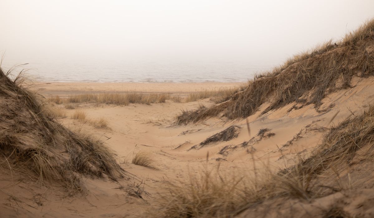
Dunes are dynamic places, built by wind and held together by marram grass. They're also nesting grounds for ringed plovers, oystercatchers and terns. Keep to marked paths, especially in spring and summer, and give roosting birds a wide berth. The tide can cut off dune-backed beaches from both ends, so identify an escape route up the dunes or inland before you need it.
For beachcombing, the best finds often appear just after a spring tide has scoured the sand. Sea glass, mermaid's purses, and driftwood gather along the strandline. But never turn your back on the sea. A wave can travel faster than you can run on soft sand. Carry a watch, and set an alarm for your turn-around time.
Before You Set Out: A Simple Checklist
- Check the tide table for the exact beach, not a nearby town. Tides vary along the coast.
- Write down the times of high and low water, and the height of the next high tide.
- Work out your last safe return time. Aim to be back on higher ground well before the flood tide begins.
- Tell someone where you're going and when you'll be back.
- Check the weather forecast for wind strength and direction.
- Take a fully charged phone, water, and a whistle. In an emergency, call 999 and ask for the coastguard.
- If you're unsure, stay on the upper beach or the dunes. No find is worth the risk.
With a little practice, tide tables become second nature. They turn a good coastal walk into a safe one, and they help you appreciate the rhythm of the UK's ever-changing shore.


Sand lizards rely on open, sandy patches and warm microclimates. Discover where to look and how to watch without disturbing them.
Natterjack toads breed in ephemeral dune pools that dry out seasonally. Their survival depends on carefully managed coastal habitats.
Sea holly thrives in harsh coastal conditions, with blue stems and thistle-like flowers. It is a distinctive sign of healthy dune habitat.
Coastal erosion is a natural process, but sea level rise and storms alter it. Understanding sediment movement helps make sense of changing shores.